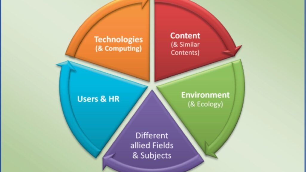
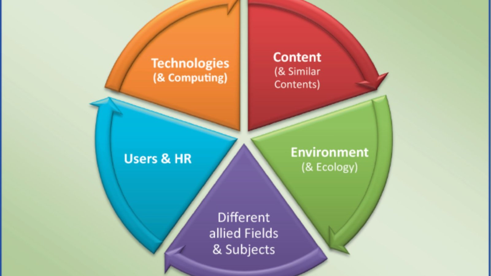
Environmental studies have become increasingly vital as the global community seeks to address issues such as climate change, resource depletion, and biodiversity loss. As technological advancements continue to shape the way we understand and interact with the environment, geometric informatics has emerged as a powerful tool that enhances the study, monitoring, and management of the natural world. By integrating spatial data, geographic information systems (GIS), and advanced computational techniques, geometric informatics helps scientists and policymakers make data-driven decisions to better protect and preserve the environment. This article delves into the significant impact of geometric informatics on environmental studies, examining how it enhances resource management, sustainability, and the understanding of environmental changes.

What is Geometric Informatics in Environmental Studies?
Geometric informatics is the application of geometric principles, spatial data, and information technologies to solve problems related to space and geography. In environmental studies, it refers to the use of geospatial data, 3D modeling, and spatial analytics to understand, assess, and manage environmental processes and resources. It involves the integration of data from various sources, such as satellite imagery, sensors, and environmental models, to generate accurate, actionable insights.
By enabling the visualization and analysis of complex environmental data, geometric informatics provides a deeper understanding of environmental systems and helps predict future trends. It is particularly valuable in monitoring ecosystems, tracking pollution, managing natural resources, and planning for climate change.
Optimizing Natural Resource Management
One of the most significant applications of geometric informatics in environmental studies is natural resource management. The efficient use and protection of resources like water, soil, and forests are critical to ensuring long-term sustainability.
Using spatial data and remote sensing technologies, environmental scientists can monitor the distribution and health of natural resources over large areas. For example, in water resource management, GIS tools allow for the mapping of water bodies, tracking of water quality, and monitoring of water usage patterns. This data is then used to plan for better water conservation, detect areas of overuse, and identify potential risks, such as droughts or floods.
Additionally, forestry management relies on geometric informatics to assess forest density, biodiversity, and growth patterns, helping to prevent deforestation and ensure the sustainable use of timber resources.
Enhancing Environmental Monitoring and Assessment
Geometric informatics plays a key role in environmental monitoring by providing real-time data that can be used to assess the health of ecosystems. With the use of remote sensing technologies such as satellites and drones, vast amounts of environmental data can be collected, processed, and analyzed to detect changes in land cover, vegetation, air quality, and more.
For example, deforestation, land degradation, and pollution can be tracked more efficiently through spatial analysis. By combining data from multiple sources, environmental scientists can monitor the spread of pollution, identify hot spots of contamination, and assess the effectiveness of remediation efforts.
Modeling Climate Change and Environmental Risks
Climate change poses significant challenges to ecosystems and human societies, and geometric informatics is a powerful tool in understanding and mitigating its effects. Climate modeling and environmental risk assessment rely heavily on spatial data to predict the impacts of climate change on different regions.
For example, flood risk mapping uses spatial data to model areas prone to flooding, helping urban planners and policymakers create more resilient infrastructure. Similarly, the potential impact of rising sea levels on coastal areas can be modeled using digital elevation models (DEMs), which combine elevation data with environmental factors to predict areas at risk.
Conclusion
Geometric informatics has a profound impact on environmental studies by providing the tools necessary to monitor, analyze, and manage the natural world. By leveraging spatial data and advanced modeling techniques, it helps scientists and policymakers understand environmental challenges, improve sustainability, and protect natural resources. As the world faces increasing environmental pressures, geometric informatics will continue to be a crucial tool in shaping a more sustainable and resilient future.


