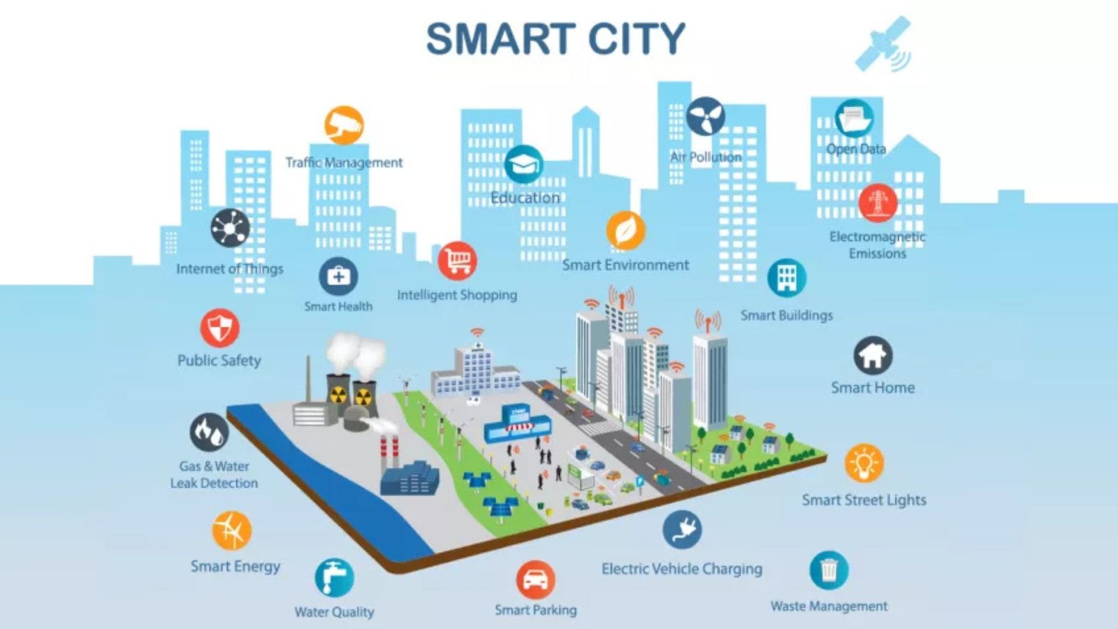
Geometric informatics plays a crucial role in Geographic Information Systems (GIS), as it involves the study of shapes, spatial relationships, and patterns in geographical data. GIS relies on geometric principles to model, analyze, and visualize spatial data effectively. The integration of geometric informatics with GIS has significantly improved the way we understand and manage geographic information. From urban planning to environmental monitoring, the combination of geometry and GIS has applications across various industries. This article explores some of the best geometric informatics applications in GIS.
Spatial Analysis and Modeling
Understanding Spatial Relationships
One of the most fundamental applications of geometric informatics in GIS is spatial analysis. This involves the use of geometric algorithms to process and analyze spatial relationships between geographic features. Spatial analysis is essential for tasks such as land use planning, environmental monitoring, and disaster management. Geometric informatics enables the efficient processing of spatial data to assess how different geographic features relate to one another in terms of proximity, connectivity, and spatial arrangement.
Applications:
- Proximity Analysis: Identifying the closest features, such as determining the nearest hospital, school, or emergency services, which helps in urban planning and emergency response.
- Buffering: Creating buffer zones around geographic features to analyze their impact on surrounding areas, such as calculating the impact of industrial zones on neighboring communities.
- Overlay Analysis: Combining multiple layers of geographic data to assess the interaction between different spatial features, such as assessing land suitability for agriculture based on soil quality and rainfall data.
3D Modeling and Visualization
Advanced Geometric Techniques for 3D Mapping
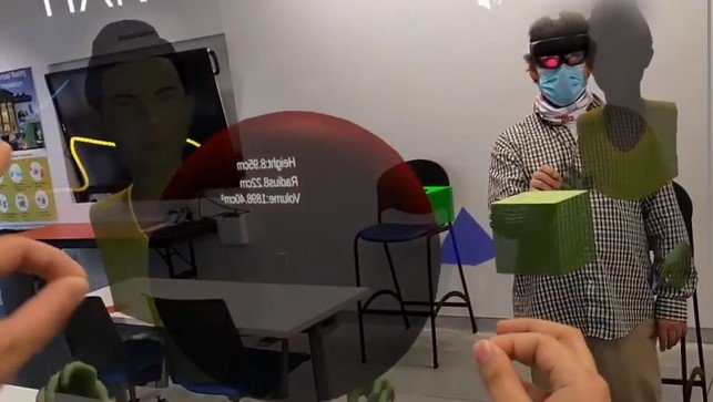
3D modeling and visualization are some of the most innovative and useful applications of geometric informatics in GIS. These techniques help create realistic models of urban landscapes, terrain, and other geographical features. By applying geometric informatics, GIS can generate 3D representations that aid in better planning and decision-making, particularly in urban development and environmental management.
Applications:
- Urban Planning: 3D city models are used to simulate urban growth, traffic flow, and environmental impact. They allow city planners to visualize how new buildings, infrastructure, and transportation systems will affect existing areas.
- Terrain Modeling: Geometric informatics is used to model the terrain of mountains, valleys, and other landforms. This is particularly valuable for environmental monitoring, natural disaster prediction, and resource management.
- Virtual Earth and Simulation: Interactive 3D maps of real-world locations can be used for simulations to assess factors like air quality, solar energy potential, or flood risks in specific locations.
Geospatial Data Quality and Accuracy
Improving Geospatial Precision
The accuracy and quality of geospatial data are critical in GIS applications. Geometric informatics helps in the processing, validation, and enhancement of geospatial data quality by applying geometric principles to ensure precision in measurements and calculations. This is especially important for mapping, navigation, and land surveying.
Applications:
- Topological Consistency: Geometric informatics techniques ensure that the spatial data used in GIS is topologically consistent, which is crucial for accurate mapping and analysis. For instance, ensuring that roads do not overlap incorrectly, or that parcels of land are accurately delineated.
- Coordinate Transformation: Geometric methods help in transforming coordinates from one reference system to another. This is important for integrating different data sources with varying coordinate systems, ensuring accuracy and consistency across datasets.
Routing and Navigation Systems
Geometric Algorithms for Efficient Pathfinding
Routing and navigation systems depend heavily on geometric algorithms to find the most efficient paths between two or more locations. These systems are commonly used in transportation networks, delivery systems, and emergency response management. Geometric informatics provides the underlying principles to calculate optimal routes based on distance, time, traffic, and other geographic factors.