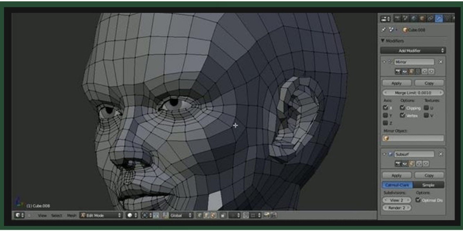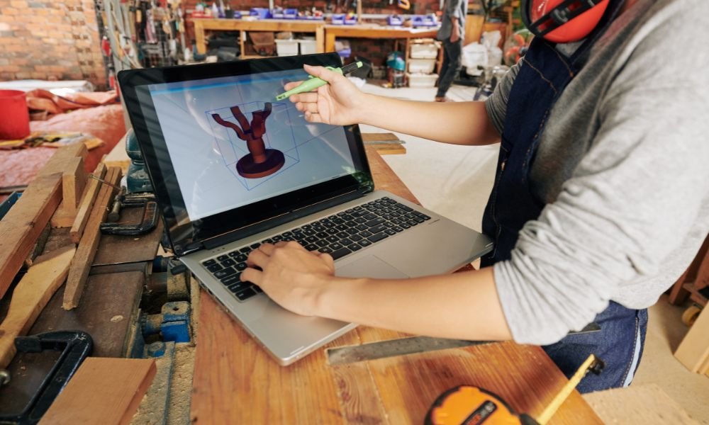
3D mapping technology is rapidly transforming various industries by providing highly accurate, detailed, and interactive digital representations of physical environments. Through the use of laser scanners, drones, and other advanced tools, 3D mapping captures real-world data in three dimensions, allowing for a more comprehensive analysis and visualization of spaces. In this post, we will explore the uses and applications of 3D mapping in several key industries, highlighting its growing importance in today’s world.
1. Urban Planning and Architecture
One of the most significant applications of 3D mapping is in urban planning and architecture. Urban planners and architects use 3D mapping to create precise digital models of cities and buildings. These models provide detailed insights into existing structures and landscapes, helping professionals design new projects that seamlessly fit into their surroundings.
By using 3D maps, architects can assess environmental factors, such as sunlight exposure and wind patterns, and make data-driven decisions about building placement and design. Additionally, city planners use 3D maps to simulate traffic flow, infrastructure needs, and even potential natural disasters. This helps in planning cities that are both functional and sustainable.
2. Environmental Monitoring and Conservation
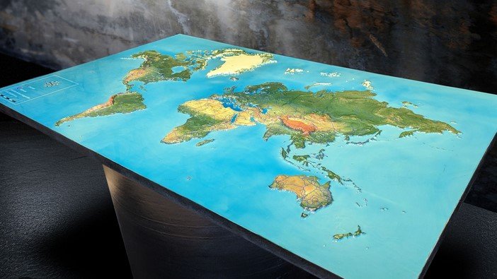
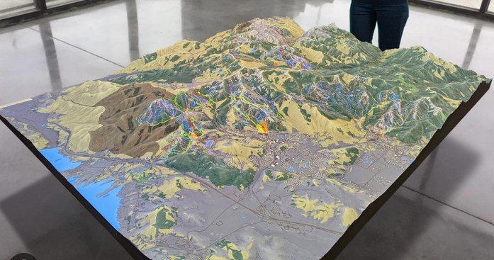
3D mapping is playing a crucial role in environmental monitoring and conservation efforts. Scientists and environmentalists use 3D mapping to study natural landscapes, monitor changes over time, and track environmental impacts. For instance, by scanning forests, mountains, or coastlines, they can create highly accurate models of ecosystems that help with conservation and management efforts.
3D maps are also used to monitor the effects of climate change, such as sea-level rise or erosion. By tracking changes in terrain, researchers can identify at-risk areas and plan for future environmental protection measures. Additionally, these maps help assess biodiversity and the effects of human activity, aiding in better decision-making for conservation policies.
3. Construction and Infrastructure Development
In construction, 3D mapping applications offer a more precise way to plan and execute projects. Builders and engineers use 3D maps to analyze terrain before starting a project, ensuring that construction materials are used efficiently and that foundations are solid. The accuracy provided by 3D mapping allows for a more detailed survey of the land, helping to avoid costly mistakes during the construction process.
Moreover, during the building phase, 3D maps can be continuously updated to reflect any changes or additions to the project. These real-time models help project managers monitor progress and ensure that the construction adheres to the original design. The technology also improves collaboration among construction teams by providing a clear, shared understanding of the project.
4. Archaeology and Historical Preservation
In archaeology and historical preservation, 3D mapping has proven to be an invaluable tool. Archaeologists use 3D mapping to capture and preserve ancient ruins, artifacts, and historical sites. These detailed digital models provide a way to study and analyze structures without risking damage to the original site.
3D mapping allows for the creation of virtual tours and educational experiences, making it easier for people worldwide to explore cultural heritage. Additionally, in the case of damaged or deteriorating structures, 3D models can be used to replicate missing elements or plan for restoration work. This technology plays a critical role in preserving historical treasures for future generations.
5. Autonomous Vehicles and Navigation
3D mapping is an essential technology in the development of autonomous vehicles. Self-driving cars rely on 3D maps to understand their surroundings, recognize road features, and make real-time navigation decisions. The high level of detail provided by 3D mapping ensures that autonomous vehicles can detect obstacles, intersections, and traffic signs, improving safety and efficiency.
These maps are created by scanning the environment with sensors, cameras, and LiDAR technology. They are updated in real time to provide accurate, up-to-date information for the vehicle’s navigation system. As autonomous driving technology continues to advance, 3D mapping will play a key role in making self-driving cars safer and more reliable.
Conclusion
3D mapping is a powerful technology with far-reaching applications across various industries. From urban planning and construction to environmental conservation and autonomous vehicles, 3D mapping enhances our ability to analyze, plan, and visualize the world around us. As the technology evolves, its uses will continue to expand, opening up new possibilities for innovation and improvement in many sectors. The future of 3D mapping is bright, offering opportunities for greater accuracy, efficiency, and sustainability.