Urban planning is evolving, and one of the most groundbreaking changes is the integration of geometric informatics in urban planning. This technology combines geometry and data analysis to create smarter, more efficient cities. With the rapid growth of cities worldwide, it is crucial to adopt advanced tools to ensure sustainable and effective urban development. Geometric informatics plays a key role in this transformation, helping urban planners optimize resources, streamline processes, and design cities that are both functional and livable.
Understanding Geometric Informatics
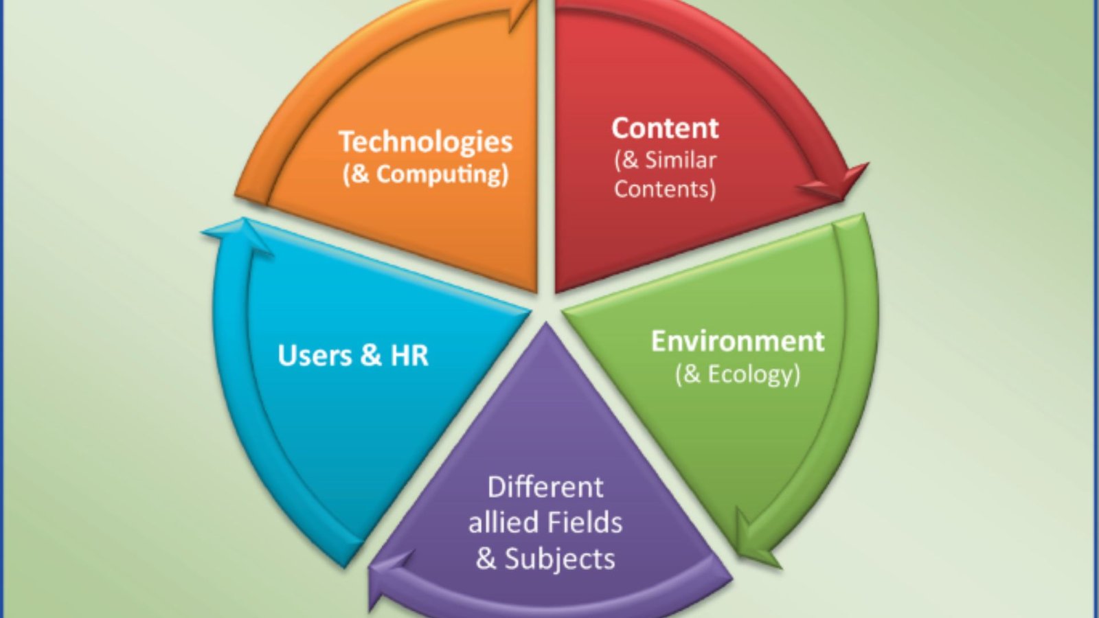
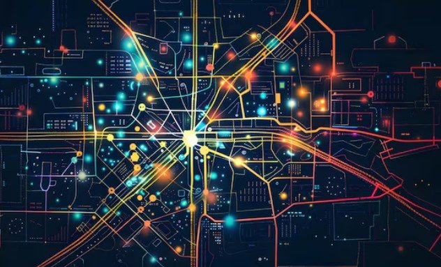
Geometric informatics involves the use of geometric principles to analyze and manage spatial data. In urban planning, it integrates various technologies like GIS (Geographic Information Systems) and CAD (Computer-Aided Design) to create detailed, accurate models of urban spaces. These models are essential for designing everything from roads and buildings to public spaces and utilities. By leveraging geometric informatics, planners can visualize and simulate how a city will function before making any physical changes, which allows for better decision-making and planning.
The Role of Geometric Informatics in Urban Planning
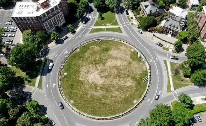
Geometric informatics provides urban planners with tools that offer a deeper understanding of the spatial relationships within a city. It enables the analysis of factors like traffic flow, pedestrian movement, land use, and even environmental impacts. With this data, planners can create more sustainable and efficient urban spaces. For example, planners can use this technology to optimize the placement of green spaces, ensure that transportation networks are well-connected, and reduce the environmental footprint of new developments.
Incorporating geometric informatics into urban planning also facilitates better coordination between various sectors. For example, transportation departments, environmental agencies, and local governments can all share data and insights. This collaboration leads to a more holistic approach to city planning and ensures that all aspects of urban life are taken into account when designing new developments or retrofitting existing ones.
Benefits of Geometric Informatics in Urban Planning
One of the key benefits of using geometric informatics in urban planning is its ability to enhance efficiency. By creating accurate digital models, planners can assess potential problems and solutions before any construction begins. This reduces costly mistakes and delays. Additionally, geometric informatics helps optimize land use, ensuring that urban spaces are utilized effectively. For instance, planners can better allocate resources like public transportation or utilities, reducing waste and improving service delivery to residents.
Another significant advantage is the ability to create more sustainable cities. Geometric informatics can analyze environmental data, such as air quality, water usage, and energy consumption, to help urban planners make greener choices. For example, planners can identify areas that need more green spaces or determine the most energy-efficient locations for new buildings. In this way, geometric informatics supports the development of eco-friendly cities that are resilient to the challenges posed by climate change.
Implementing Geometric Informatics in Urban Planning
The implementation of geometric informatics in urban planning requires collaboration among various stakeholders, including local governments, urban planners, technology developers, and even citizens. Modern software platforms that integrate GIS and CAD tools have made it easier for planners to create and modify urban models in real-time. As technology continues to advance, we can expect even more powerful tools that integrate artificial intelligence and machine learning to analyze vast amounts of spatial data.
Additionally, the adoption of geometric informatics can be a step-by-step process. Cities can start by using simple models and gradually build more complex systems as they become more comfortable with the technology. Education and training are also crucial for urban planners to fully leverage the power of geometric informatics. This can help ensure that the technology is used effectively and leads to better urban planning outcomes.
Conclusion
Incorporating geometric informatics in urban planning represents a major shift toward smarter, more sustainable cities. It offers urban planners the tools they need to design cities that are efficient, eco-friendly, and responsive to the needs of residents. By embracing this technology, cities can better address the challenges of urbanization, improve quality of life, and build a more sustainable future for all. As the world continues to urbanize, geometric informatics will play an increasingly critical role in shaping the cities of tomorrow.